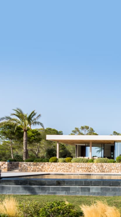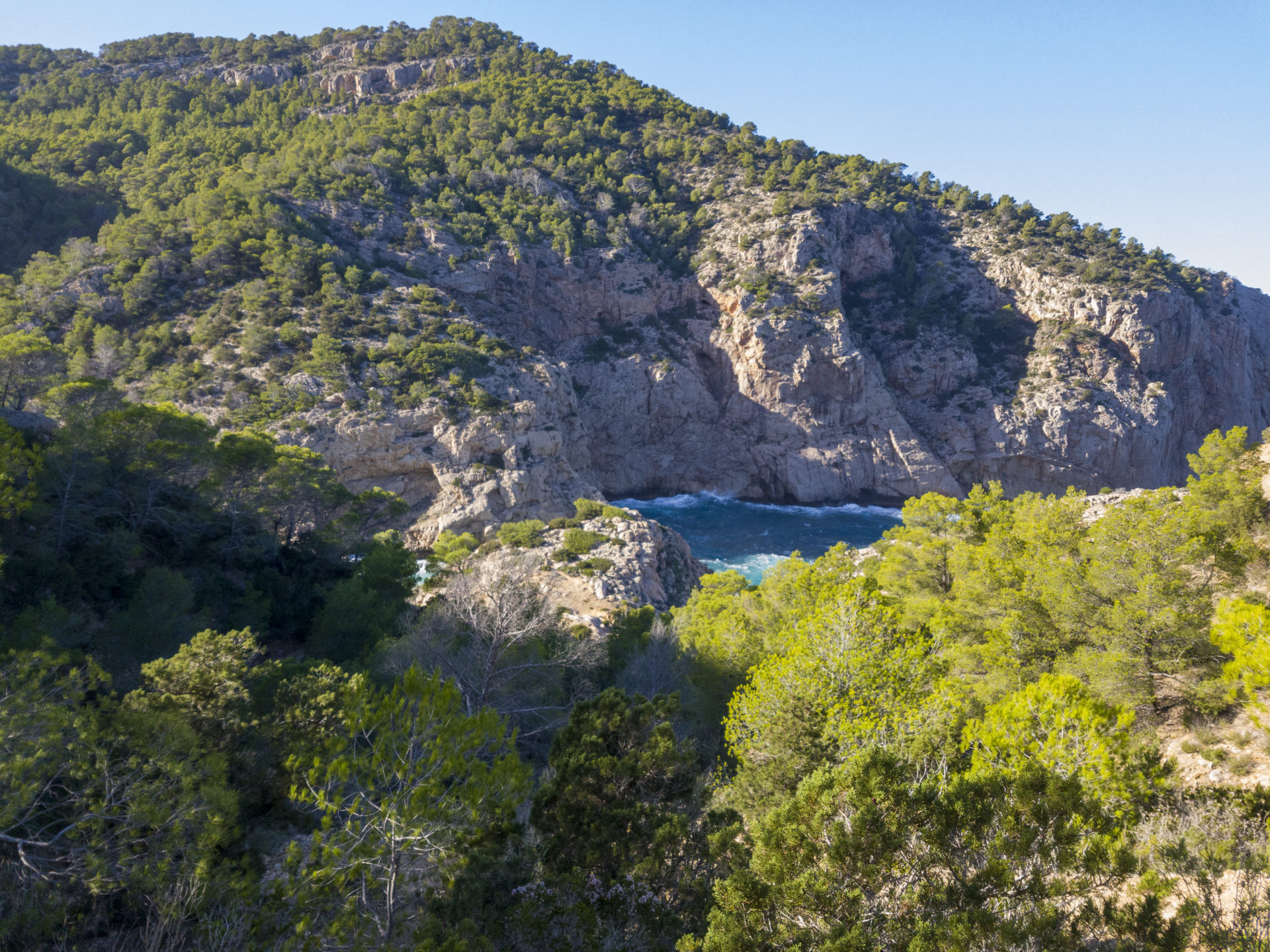
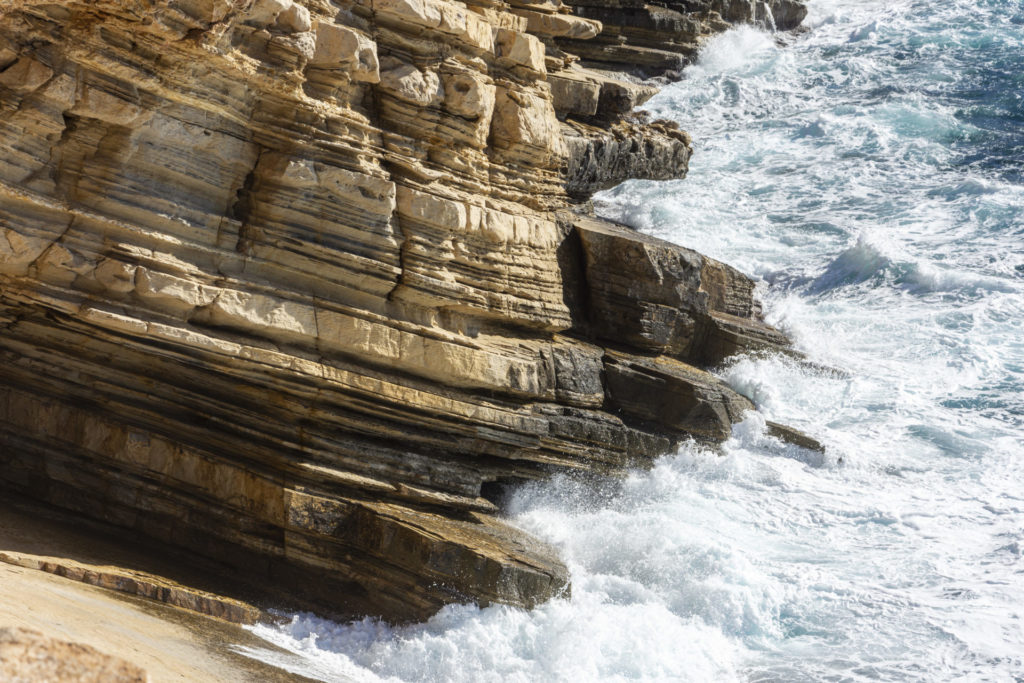
Ibiza and Formentera form a pair of islands which the Ancient Greeks named “Pitiusas,” meaning “pine islands.” They make up the western part of the Balearic archipelago. These islands are not volcanic and mainly consist of sedimentary limestone and sandstone. Ibiza is the larger of the two islands and is located just 75 sea kilometers from the Spanish coastal region of Valencia. On the coast of Ibiza, specifically the northern coast, you can see large bare layers of weathered rock plunging into the sea.
Ibiza, Formentera, Mallorca and Menorca are part of a mountain range that began to unfold around 60 million years ago when the African and the Eurasian tectonic plates collided. This led to a separation of the Mediterranean from the Atlantic and the development of the southern European mountain ranges. The Balearic Islands are a continuation of the Baetic System, a mountain range found in Andalusia.
This separation of the Atlantic from the Mediterranean by the land bridge of Gibraltar caused the complete desiccation of the Mediterranean Sea, an event called the Messinian Salinity Crisis. This caused a large 1.5km dry, deep basin to form for around 270,000 years leaving a kilometers-deep layer of salt due to seawater evaporation. This was first discovered by the deep sea geological and oceanographic research ship „Glomar Challenger“ in 1970.
These Mediterranean islands stood out as an isolated limestone mountain about 4000m above the desert salt basin. The land bridge between Europe and Africa (Gibraltar) slowly eroded about 5 million years ago, which led to a massive flood, which in just two years refilled up to 90% of the Mediterranean basin. The Strait of Gibraltar keeps the Mediterranean from drying out like it did repeatedly 6-5.3 million years ago.
Ibiza and Formentera formed an island during the last ice age where the water level was much lower. Due to the warm and humid climate after the ice age, it led to partially hard weathering of the rock with the release of iron hydroxide causing a rust-red color of the earth. The cliffs show characteristics from the Miocene (approximately 25 million years ago) and the limestone comes from the Mesozoic (approximately 200 million years ago). These elements mixed with great torrential currents mixed with sandstone and boulders through millions of years and created the earth we see today.
Nowadays the land bridge connecting Ibiza and Formentera no longer exists. And due to the refilling of the Mediterranean, the highest point in Ibiza, Sa Talaia, is now a mere 475m above sea level.
Sources
Ball, Philip. “When the Mediterranean Was a Desert.” Nature News, Nature Publishing Group, 12 Aug. 1999, https://www.nature.com/news/1999/990812/full/news990812-10.html.
“Geography of Ibiza.” SeeIbiza.com | The Essential Guide to Ibiza, https://www.seeibiza.com/geography.
University of Otago. „Growing Antarctic ice sheet caused ancient Mediterranean to dry up.“ ScienceDaily. ScienceDaily, 10 November 2015. <www.sciencedaily.com/releases/2015/11/151110082103.htm>.